Researchers speak of 'incredible luck' after measuring megatsunami that swept everything in its path
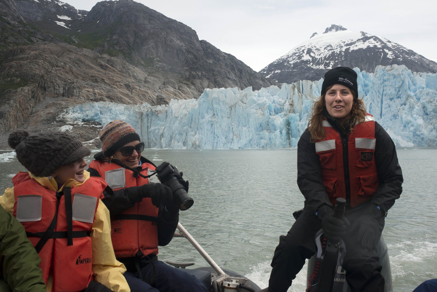
The Tracy Arm Fjord in southeast Alaska offers a majestic landscape with a narrow arm of the sea surrounded by huge granite walls, waterfalls and glaciers. One morning last year, the place was also the scene of a powerful landslide, which triggered a localized tsunami of huge proportions, reports Reuters.
Researchers have now determined that the August 10, 2025 tsunami was the second-highest ever recorded, with a wave that reached up to 481 meters high – taller than the Empire State Building. The tsunami swept across the fjord, violently uprooting the vegetation from the steep rock walls.
The fjord was a popular tourist destination, but because the tsunami struck at 5:30 a.m., there were no cruise ships or other watercraft on the waterway and no one was injured.
The researchers say that the landslide was a consequence of climate change. The glacier supporting the mountainside retreated amid rising temperatures, eventually leaving the rock without support.
“The fact that the landslide happened so early in the morning was incredibly lucky. Next time — and there will be a next time — we may not be so lucky,” said geologist Dan Shugar of the University of Calgary, lead author of the study published Wednesday in the journal Science.
How researchers reconstructed the size of the tsunami wave
There were no photographs or video recordings of the tsunami, so scientists reconstructed the events using later aerial photographs, satellite and seismic data, on-site field surveys, and the accounts of people who were nearby at the time.
Tracy Arm Fjord, located about 80 kilometers south of Alaska's capital Juneau, is about 40 kilometers long and one kilometer wide, and the surrounding rock walls are more than 1,000 meters high.
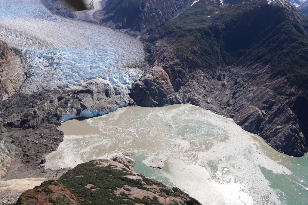
The researchers determined the height of the wave by measuring the area where vegetation had been uprooted, leaving dramatic marks on the rock walls. The wave rose so high because the huge volume of water dislodged by the rocks from the landslide was forced through a very narrow space.
“The completely shaved vegetation, like the ring of a valve mouth, is probably the most striking difference between the way the fjord looks now compared to last year – unless you were diving and you could see the huge deposit of rock on the ocean floor,” explained Shugar.
“The uprooted vegetation basically forms a very clear line, below which there is nothing but rock, sediment and a few tree stumps, and above which is the untouched forest, exactly as it was on August 9, before the tsunami. Like two different worlds,” added the geologist.
The tsunami was detected by seismographs around the world
About 64 million cubic meters of rock collapsed in about a minute. This volume is 24 times larger than that of the Great Pyramid of Giza, according to geophysicist Stephen Hicks of University College London, co-author of the study.
“This collapse set off a seismic wave seen around the world,” Hicks said.
Some waves were trapped in the fjord, causing the water to oscillate. The rare phenomenon lasted for several days and generated a distinct seismic wave.
A similar 2023 tsunami generated by a landslide in Dickson Fjord in East Greenland produced a wave about 200 meters high and the same phenomenon.
The highest tsunami ever recorded was over 500 meters
Although tsunamis are most often associated with earthquakes, huge waves can also be caused by underwater volcanic eruptions or landslides. The highest tsunami ever recorded – about 520 meters – was also a localized event, produced in Lituya Bay in 1958, following a landslide.
That bay is in southern Alaska.
Offshore tsunamis can travel huge distances and cause devastating coastal destruction and massive loss of life. The 2004 Indian Ocean tsunami, triggered by an earthquake and killing an estimated 230,000, had a recorded height of 51 meters in Sumatra.
The tsunami caused by the earthquake that hit Japan in 2011, which killed more than 15,000 people, reached about 40 meters.
“Tsunami caused by large earthquakes occur because a fault in the Earth's crust fractures the sea floor, causing the overlying water to move vertically. In landslides, the wave is created by material above the water collapsing directly into the water,” Hicks explained.
And the seismic data showed that there were, in fact, warning signs before the Tracy Arm Fjord landslide.
“In hindsight, we found that the landslide was preceded by about a week of very small earthquakes that indicated fracturing of the rock mass that was about to collapse. This gives us hope that we can develop warning and forecasting systems along with other observational methods,” Hicks concluded.