The polar vortex is approaching Europe: We could have the coldest winter in the last 40 years, meteorologists warn
Meteorologists warn that the polar vortex — the huge mass of cold air from the Arctic zone — is moving towards Europe and could cause a significant drop in temperatures in the coming months, notes profit.ro.
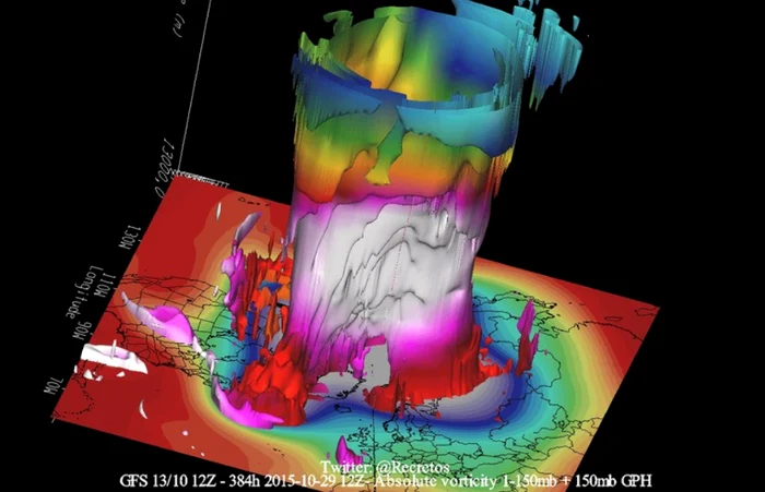
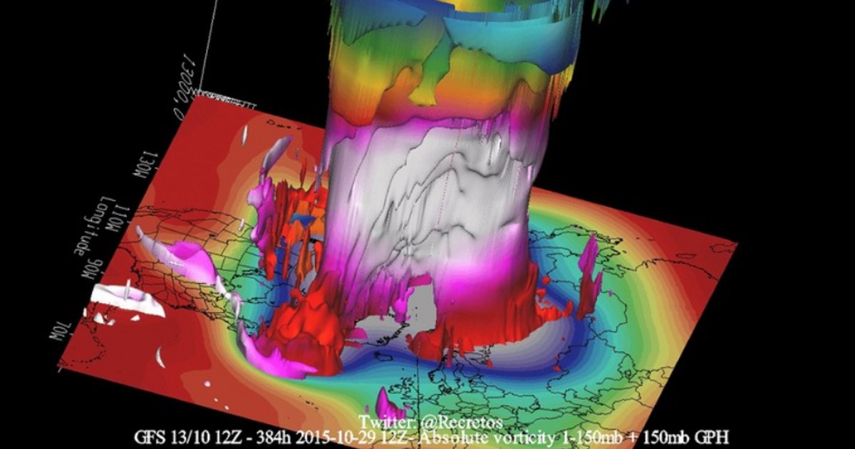
Photo: Severe Weather Europe
The polar vortex is a large atmospheric circulation that concentrates cold air over the North Pole and normally ensures stable winter weather. This year, however, its structure formed weaker than usual, which favors the movement of cold air towards the middle latitudes.
According to Severe Weather Europe, the current development of the vortex is atypical and will affect the weather in the US, Canada and Europe, including in the winter of 2025–2026.
“Since the appearance of the new polar vortex in September, it has shown an unusual evolution and could become an unpredictable factor for the coming winter. A strong vortex keeps cold air locked in the Arctic, ensuring a milder winter in Europe. A weak vortex, however, can disrupt the jet stream and allow cold air to penetrate south.”meteorologists explain.
A pressure anomaly prevents the vortex from strengthening normally, keeping it weaker and favoring a cold front. “A closer look at Europe shows that a cold air wavecaused by a strong disturbance of the lower polar vortex. If such an event were to occur in the middle of winter, it would certainly bring extensive cold and snow.”the report states.
Meteorologists draw parallels with the winter of 1981–1982, when a similar polar vortex structure allowed cold air to descend rapidly into the midlatitudes, causing a very cold winter in Europe, with cold temperatures extending from Canada and the northeastern US into Europe.
Experts warn, however, that “no one can guarantee that next winter will follow exactly the same pattern, but the unusual development of the polar vortex shows that even the smallest deviations can have major effects.”
Serbian meteorologist Ivan Ristić predicts that next week the temperatures will be between 10 and 15°C, typical of late autumn, followed by snow in the mountain areas. “The source of the cold air is the Greenland Sea. Although it may not bring snow to the lowlands at this time of year, the air remains very cold, and atmospheric oscillations suggest a harsher winter. Snowfall will be more frequent and temperatures will drop below freezing. In the mountains it could drop to -20°C, and in the lowlands to -10 or -12°C”explained Ristić. The first snow in the lowlands could appear around November 24.
Meteorologist Marko Čubrilo states that there are signs of instability of the polar vortex, which could cause disruptions or even an episode of sudden stratospheric warming. “Winters with such global drivers have often had episodes of stratospheric warming in December or January. Therefore, it is premature to talk about an exact forecast before mid-November. The European ECMWF model shows a moderate potential for a cold winter, but nothing definite.” Čubrilo explained.
He added that only the Chinese Weather Model (CMA) is predicting a very cold and snowy winter, while US models are not signaling significant atmospheric blocking, which would indicate a milder winter.