North Karolina is waiting for Hurricane Erin. A state of emergency on the coast was announced
2025-08-18 06:31
publication
2025-08-18 06:31
The authorities of Dare and Hyde's counties in North Carolina announced a state of emergency on Sunday and ordered the obligatory evacuation of some of the islands of Hatteras and Ocracoke on Outer Banks in connection with the oncoming Hurricane Erin. Forecasts provide for floods and “life -threatening effects” along the coast.
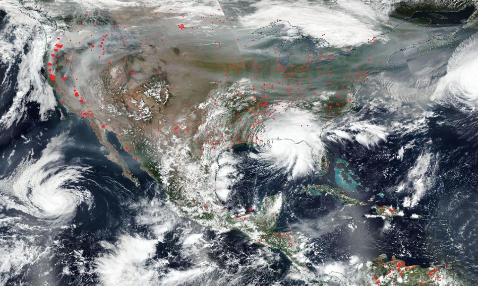
The islands of Hatteras and Ocracoke located on the barrier Outer Banks chain are known for the picturesque domestic Cape Coast of Hatteras and the historic maritime lighthouse of Cape Hatteras. On Sunday, the National Meteorological Service (NWS) issued a coastal flood warning from Tuesday to Friday with waves reaching 4.5 to over 6 meters in height.
– Fragments of the NC 12 motorway on the island of Hatteras will probably be impassable for several days. The floods and the inflow of the ocean waters are expected to start on Tuesday and last until Thursday. The time has come for final preparations, property protection and evacuation with all personal belongings – informed officials for crisis management in Dare, at which the local WNCN station appoints.
In Hyde, an ambulance will not be available on the island of Ocracoke. The evacuation of tourists began on Sunday evening, and the inhabitants are to leave the island from Tuesday, from 6:00.
According to NWS, the effects of Hurricane Erin on the coast and beaches are “a serious threat to life and property.” “Many” houses and companies are planned, and numerous roads will be impassable. – Extreme destruction of beaches and the coast is likely along the ocean coast, which will cause a serious threat to life and property. Large, dangerous waves will probably flood and destroy protective dune structures – the NWS office in Morehead City said on Sunday.
Hurricane Erin formed around August 11, 2025 near the Cape Verde islands. Until August 16, he intensified violently, reaching category 5 with a wind at 260 km/h, becoming the first serious hurricane of the Atlantic season in 2025. On August 17, it slightly weakened to category 3, with the wind about 200 km/h, moving northwest above the open waters.

Meteorologists warn that Erin remains a large and dangerous storm. The east coast of the USA-from Florida to the northeastern part of the country-is exposed to life-threatening reverse currents, high waves and strong winds, blowing from the ocean side.
From New York Andrzej Dobrowolski (PAP)
ad/ san/