Finnish organs believe that in the summer season There will be more and more disturbances in using satellite navigation. Officials also appealed that the crews of units flowing through the Finnish bay were trained from the ability to read traditional sea maps, without relying on electronic devices.
“Map and compass are a reliable set if you know how to use it,” said the head of the Maritime Security Department in the Finnish Border Guard Mikko Hirvi.
It was reminded that the popular electronic navigation plotters on boats, displaying the digital sea map and the location of the unit in real time, do not belong, in accordance with the Act on water traffic, into basic navigation tools.
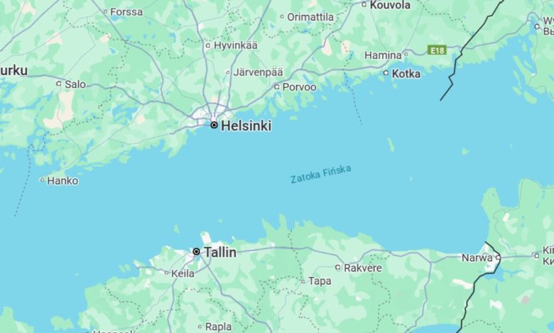
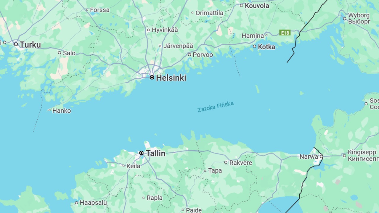
Fears of the interference of Russia in the region of the Finnish Bay
Earlier, the Finnish Transport and Communication Agency also reported that this year the number of recorded cases of interference in the reception of GPS in the airspace is Many times greater than in previous years. At the same time, it was noted that Russia has systems and bases for conducting electronic fight, located in the Gulf of Finnish, including in the St. Petersburg region and in the southern Baltic part in the Królewiec region. The Russians also use their own GLONASS satellite navigation system.
According to the former commander of the Finnish Armed Forces and the commander of the Air Force, General Jarmo Lindberg, and currently the MP, Russia disrupts GPS in Finland to prevent Ukrainian attacks on its strategic goals in this area.