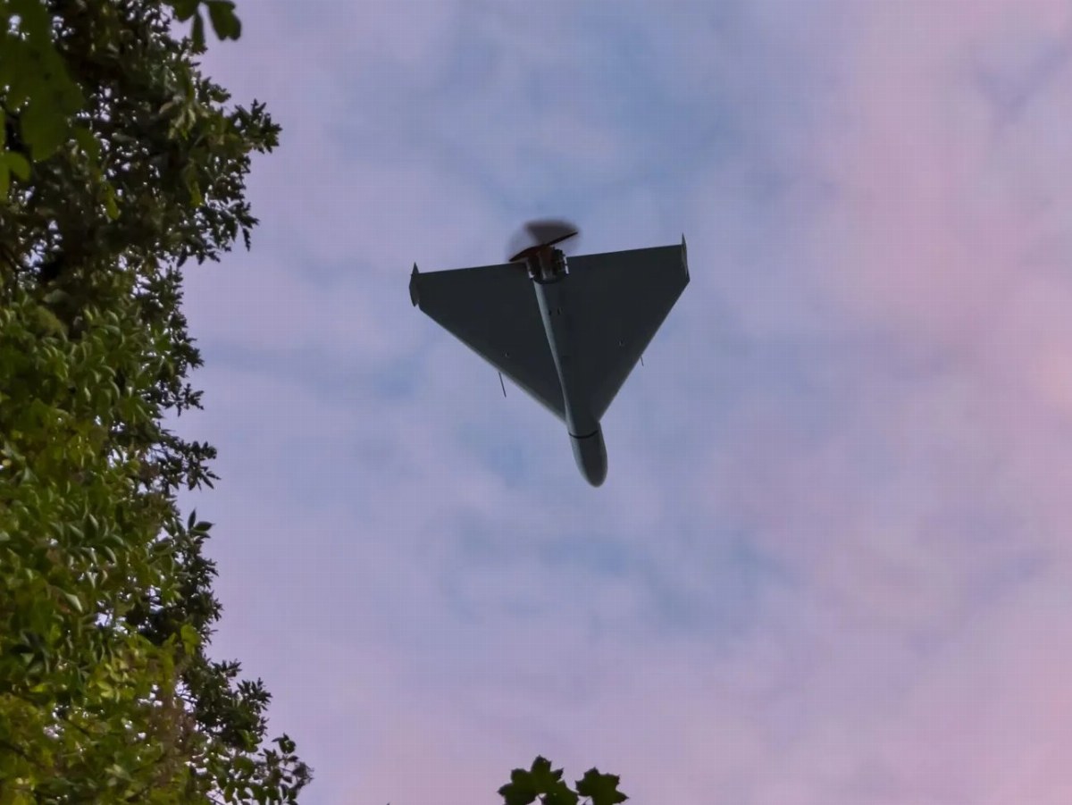
A new map functionality has been integrated into Ukraine’s Air Alert application, enabling users to track various types of aerial threats, including cruise missiles and drones like the Shahed. This initiative is a collaboration involving the Ministry of Digital Transformation, the Ministry of Defense, the Air Force of Ukraine, and local IT companies.
During airstrike alerts, swift access to verified military information is crucial for public safety. As emphasized by government officials, the new map allows users to visualize the approximate locations and movement directions of these threats. However, it is important to note that the map does not provide real-time exact locations of the targets.
In case of an air alert, citizens are urged to seek shelter immediately and remain in safe locations until the all-clear signal is given. The app is designed to inform users about the nature of the threats and the geographical areas affected, ensuring they receive timely updates via secure communication channels.
This enhancement addresses public demands for more detailed information on air threats, helping citizens to better understand the risks and respond appropriately to alerts. The map includes features such as zoom capabilities and a grid display, allowing users to monitor potential danger zones more effectively.
The Ministry of Defense has stated that data shared through the app is processed securely to avoid sensitive information exposure, while ensuring users stay informed about potential hazards without compromising their safety. Delays in information transmission may occur; thus, users are advised to adhere to safety protocols during alerts.
The new map reflects various types of threats such as cruise missiles and drones.