
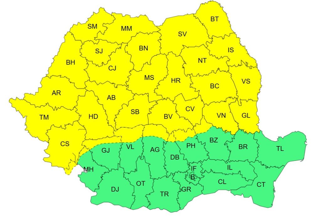
New severe weather warnings. Yellow code of frost, snow and ice in more than half of the country / Map of the affected areas

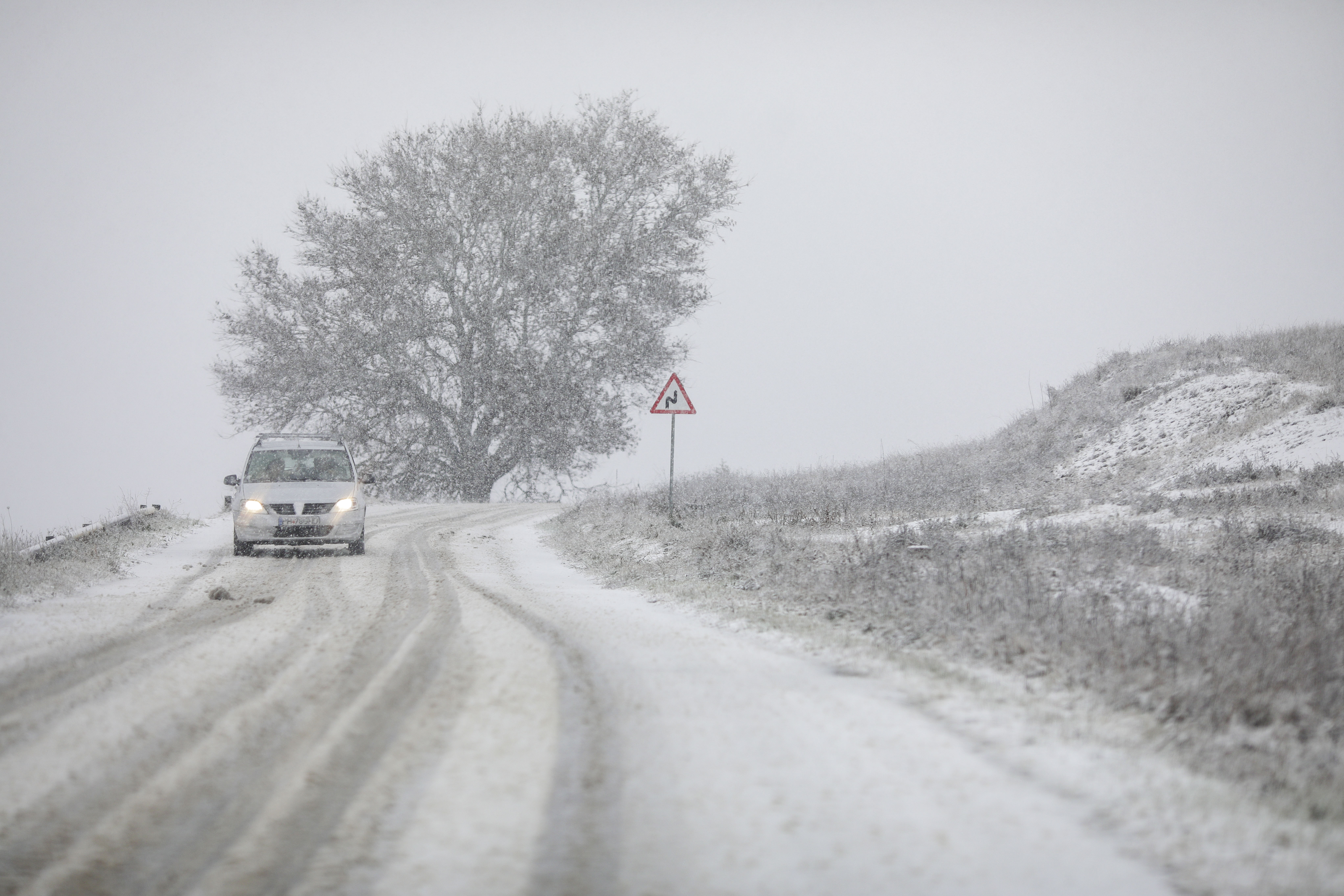
Heavy snow. Photo: Inquam Photos / Octav Ganea
On Tuesday, the National Meteorological Administration (ANM) issued a new yellow code weather warning of snow, ice, wind intensification, valid until Thursday, January 8, in most of the country. Another weather warning is in place until Friday 9 January.
The meteorologists have issued an information valid from Tuesday, from 10:00 a.m. until Friday, at the same time, in which they announce snow, frost and poles.
According to ANM, there will be precipitation in most of the country and amounts of water of 10…40 l/m2 will accumulate. These will be mixed and there will be snow during the day of January 6 in Banat, Crisana, Maramureș, the north and west of Transylvania, then snow will gradually prevail and a consistent snow layer of 15…30 cm will be deposited.
In the mountains, snow cover of up to 50 cm
In Moldova, as well as in central, southern and eastern Transylvania, there will be temporary mixed precipitation and snow will fall. In the mountains, snow will prevail, and the newly deposited snow layer will be 30…50 cm.
From the night of Wednesday to Thursday (January 7-8) there will be intensification of local winds in the southern and eastern regions with speeds of 50…60 km/h, as well as in the Southern and Curbura Carpathians where gusts will exceed 70…80 km/h and there will be blizzards.
On the night of Thursday to Friday (8-9 January) the weather will become locally frosty in the intra-Carpathian regions and in the hilly areas of the rest of the country, where minimum temperatures will generally be between -15 and -10 degrees.
Code yellow for almost the whole country
At the same time, the ANM issued a yellow code warning of quantitatively significant precipitation, snowfall, snow cover, poles, wind intensifications. The yellow code is valid from Tuesday, from 10:00 a.m. to Thursday, at 12:00 p.m., for the areas of Banat, Crisana, Maramureș, northern and western Transylvania, the Banat Mountains, the Southern Carpathians and Curbura.
The meteorologists announced that, “at first in Banat, Crișana and Maramureș, and then also in the north and west of Transylvania, there will be quantitatively significant precipitation, predominantly in the form of snow.”
“20…35 l/m2 will accumulate and locally over 40 l/m2 in the Banat Mountains and the Southern Carpathians. A snow layer of 20…50 cm will be deposited in the mountains, and 15…30 cm in the low relief areas. Locally, snow will be deposited,” the ANM warning says.
From the night of Wednesday to Thursday (January 7/8), the wind will intensify in the Southern Carpathians and Curbura with speeds of 50…70 km/h, and at altitudes above 1700 m, at 70…85 km/h, so that the snow will temporarily be blizzard and the visibility low.
Code yellow for rain and hail
Another yellow code was issued by the meterologists for the period January 6 – January 8, at 12:00.
In the center, south and east of Transylvania and in Moldova, there will be temporary mixed precipitation and local precipitation, ANM announces.


