The US and India have officially launched Nisar satellite, “the most sophisticated radar I have ever built”
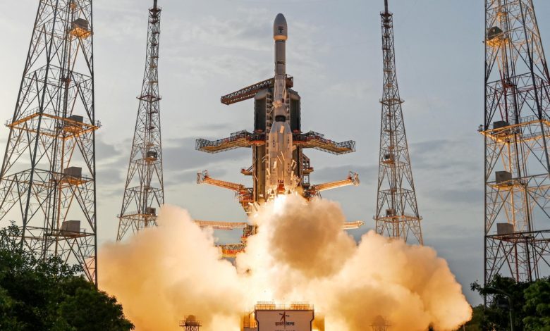
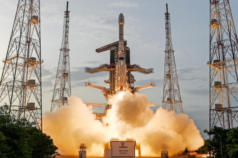
Nisar was launched Wednesday, July 30, 2025. Credit: AFP / AFP / Profimedia
A formidable radar satellite, developed jointly by the US and India, was launched on Wednesday, being designed to track the subtle changes in earth and ice surfaces and to help predict natural and human dangers, AFP reports.
Called Nisar (NASA-isro Synthetic Aperture Radar), the spatial ship the size of a truck took off from the Satoh Dhawan space center on the southeast coast of India, aboard an Isro Geosynchronous Satellite Launch Vehicle.
Very expected by scientists, the mission was also welcomed by the US President Donald Trump, and by the Prime Minister of India, Narendra Modi, as a terminal in intensifying the cooperation between the two countries.
Congratulations, India! ”, Wrote the Indian Minister of Science and Technology, Dr. Jitendra Singh, X.
“The surface of our planet is subject to constant and significant changes,” the director of the Earth Science Division of NASA told NASA, Karen St Germain, before launch.
“Some changes happen slowly. Others happen suddenly. Some changes are big, while others are subtle,” she explained.
Major role in predicting disasters
By identifying small changes in the vertical movement of the Earth's surface, only one centimeter, scientists will be able to detect the precursors of natural disasters and those caused by humans, from earthquakes, terrestrial imbalances and volcanic rashes, to aging infrastructure, such as dams and bridges.
“We will see the terrestrial substance and swelling, movement, deformation and melting of mountain glaciers and glacial caps that cover both Greenland and Antarctica and, of course, we will see vegetation fires,” added St Germain, calling Nisar “the most sophisticated radar that I have ever built.”
In the coming weeks, the spacecraft will start a commissioning phase of approximately 90 days, during which time the radar antenna reflector will carry out.
Once it is operational, Nisar will record almost all the land and ice of the Earth twice every 12 days from an altitude of 747 kilometers, surrounding the planet near the poles.
As it orbits, the satellite will continuously transmit microwaves and receive echoes from the surface.
Because the spacecraft moves, the return signals are distorted, but the computerized processing will reassemble them to produce detailed images, at high resolution.
Obtaining similar results to traditional radar would require a parabolic antenna impractically large, with a width of 19 kilometers.