Just a few years ago, satellite data was mainly associated with environmental monitoring, scientific research and experimental projects. Today, they are becoming one of the key resources of the modern economy and security systems.
This process will significantly accelerate in the coming year. The space market is maturing: the number of satellites is growing, the costs of access to data are falling, and the greatest value begins to be generated not by Earth observation itself, but by the rapid processing of data and their use in decision-making processes.
The rest of the article below the video:
Satellite data is an important element of security architecture
The most pronounced change concerns the perception of satellite data. What was recently treated as an environmental resource – for monitoring the climate, natural disasters or changes in nature – is now also an important element of security architecture.
This applies to both the civilian and military areas. Even open data from programs such as Copernicus is “dual-use” – it can be used for both civilian and military applications – and is used to monitor threats, infrastructure resilience and observe geopolitical changes.
Importantly, this does not only apply to government systems. Many private satellite constellations, which were created to observe glaciers or oceans, now in practice support intelligence and analytical activities. With this shift, security is no longer an add-on, but rather a starting point for the design of satellite systems. We see a clear increase in demand for satellite solutions – from our own satellites to the terrestrial segment.
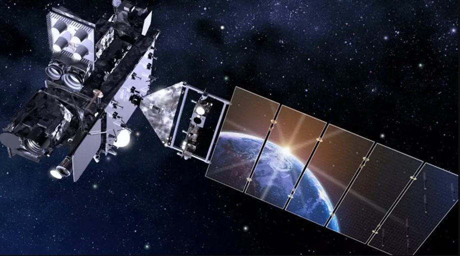
Illustration of a geostationary satellite
|
NOAA
Space sovereignty – a new dimension of state independence
Autonomous access to satellite data is becoming one of the foundations of the independence of states and regional communities. More and more countries recognize that real sovereignty does not lie only in the location of data, but in the control of the entire chain of technologies and services. The lack of its own Earth observation capabilities forces it to rely on the decisions of external suppliers – also in crisis situations. The experience of recent years has shown that access to space services can become a tool of political or economic pressure, as it accelerates investments in local and regional competences.
More and more countries are implementing strategies to build independent resources and capabilities for autonomous observation of the Earth from space, based – where possible – on local competences (e.g. constellations: CAMILA, Piast, Microglobe). In this context, interoperability of systems, i.e. the ability to share resources and information, becomes crucial. This allows you to combine the complementary capabilities of individual systems, creating a synergy effect and maximizing value for society.
Artificial intelligence is changing the way we work with satellite data
Artificial intelligence is an important catalyst for change. AI and machine learning techniques are increasingly responsible for analyzing huge volumes of satellite data, which exceed the capabilities of traditional methods. AI is used to detect changes in time and capture anomalies, significantly reducing response times. In the context of security and crisis response, this time is crucial.
An important role in this process is played by the transition from satellite images to numerical representations (embeddings) – i.e. vector descriptions of image content generated by AI models. Thanks to this, new data can be analyzed very quickly by AI models and compared with archives, and the system automatically detects changes and anomalies without manual image analysis even with very large data sets.
The next step is to integrate satellite data repositories with language models. This enables interaction with data in natural language – the user can ask questions and receive specific answers without knowledge of satellite technologies or analytical tools. For example, a user can ask: “Show me new open-pit mines in the Masovian region in 2025” and get an answer. This is a great step towards popularizing the use of satellite data in everyday life.
Space is the base for the entire economy
Data from orbit increasingly flows directly into business and administrative processes. They cease to be the domain of narrow expert teams and begin to function as an element of everyday decision-making. They are widely used in agriculture – mainly due to the scale of the sector and optimization potential. Use in areas such as energy, logistics, insurance, finance and water resources management is also growing. Decreasing costs of launching satellites and miniaturization of sensors enable the construction of specialized constellations – for example for monitoring methane, fires or energy efficiency of buildings – which opens the way to new business models based on very specific sector needs. Despite the growing integration of satellite data into decision-making processes, there is still space between sector solutions and the space industry. It is its fulfillment – through the practical use of available data to solve real business and social problems – that constitutes one of the greatest sources of innovation and may become one of the main drivers of creating new value.
Information as the basis for decisions and advantage
Satellite data is only as good as the information we get from it. Merely collecting and storing data brings nothing if they are not included in the value-building chain: processes, decisions and specific actions.
This is supported by secure, scalable and flexible platforms, most often based on cloud architecture. They automate data analysis and provide ready-made indicators – for example regarding crop irrigation, changes in land use or the scale of damage after natural disasters. Data must be accessible to authorized users and capable of being processed both systematically and on request. In such an ecosystem, users can focus on integrating information with decision-making systems and creating real added value. As a result, satellite data increasingly functions like universal services: technologically invisiblebut crucial from the point of view of everyday decisions, just like GPS or maps in a smartphone.