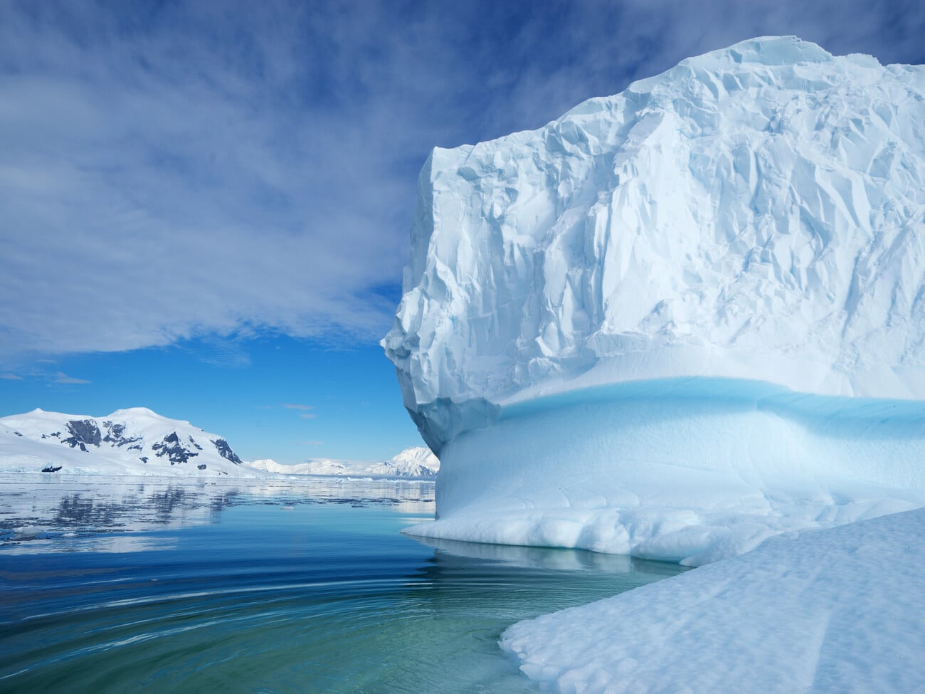

In two months, the edge of the glacier retreated by 8 km – this is the highest figure for the entire period of modern observations. The total area of the glacier is about 298 km², which is considered relatively small by continental standards.
Researchers from the University of Colorado Boulder have found that the rapid degradation is associated with the features of the topography under the ice. The glacier is located on a flat area of rock below sea level. As the ice thinned under the influence of global warming, the ice mass began to simultaneously break away from the ground and float. After this, the influence of oceanic processes on it increased: cracks at the base connected with surface faults, which caused the active formation of icebergs.
To reconstruct the events, scientists used satellite data and readings from seismic instruments, which recorded a series of so-called “ice earthquakes” when the ice separated from the bottom. Observations showed that in certain periods the glacier shrank by 2.5 km in just two days.
The authors of the work consider the incident to be an alarming signal: similar underwater plains also exist under the larger ice masses of Antarctica, which could have serious consequences for the level of the World Ocean in the future.
Context
Massive melting of glaciers threatens rising sea levels and flooding of coastal cities on some continents. Scientists have warned that the active melting of the Thwaites Glacier, known as the “Doomsday Glacier”, threatens cities, infrastructure and livelihoods around the world.